
3Nov
Adapting to the Risk of Atlantic Circulation Change: What a New Commentary Asks Planners to Do
Quick answer: Atlantic circulation change means the Atlantic's large current system, often called AMOC, could weaken. A 2026 Nature Sustainability commentary says this could shift temperatures and rainfall, raise regional sea levels, disrupt food and marine ecosystems, and weaken the ocean carbon sink. It adds that planning in the most exposed countries does not yet account for these risks.
Key Takeaways
- A weakening Atlantic circulation could shift temperatures and rainfall across continents, according to a 2026 Nature Sustainability commentary.
- The same commentary lists regional sea level rise, food production, marine ecosystems and the ocean carbon sink as systems at risk.
- Authors Brenden Jongman and Jim W. Hall say planning in the most exposed countries does not yet account for these risks.
- They propose five steps to close this planning gap, but the full text sits behind a subscription.
- Ocean datasets and research indexes help students and researchers follow the science behind the risk.
What is Atlantic circulation change and why does it matter?
Atlantic circulation change means the big system of ocean currents in the Atlantic, often shortened to AMOC, could weaken. A recent commentary in Nature Sustainability says that would shift temperatures and rainfall, raise sea level in some regions, strain food and marine life, and reduce ocean carbon uptake.
The system in plain language
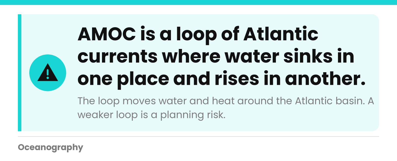
AMOC stands for Atlantic Meridional Overturning Circulation. "Meridional" means north to south, and "overturning" means water sinks in one place and rises in another as part of a loop. Together, these currents move water and heat around the Atlantic basin.
That loop is one piece of the wider global ocean conveyor. If you want the full picture first, our page on global circulation explains how currents connect the whole sea.
What the new commentary says
The piece was published on 27 October 2026 as a comment article. Its authors are Brenden Jongman, who is affiliated with the World Bank in Washington DC and the Environmental Change Institute at the University of Oxford, and Jim W. Hall of the same Oxford institute.
Their message is about preparation. Weakening circulation is not only a physical ocean question. It is also a planning question for governments, businesses and communities.
One note on our sources. The full article sits behind a subscription, and we worked from the public summary and reference list. We will not guess at details we could not read.
Which impacts could a weaker Atlantic circulation bring?
The commentary names five areas of concern: temperature and rainfall patterns, regional sea level, food production, marine ecosystems and the ocean carbon sink. These touch farms, coasts, fisheries and climate goals at the same time, which is why the authors treat the risk as a planning issue and not only an ocean science topic.
| Area at risk | What the commentary says could happen | Who may feel it |
|---|---|---|
| Temperature and rainfall | Shifts across continents | Farmers, water managers, city planners |
| Sea level | Higher levels in some regions | Coastal towns, ports, shoreline owners |
| Food production | Disruption | Growers, food suppliers, households |
| Marine ecosystems | Disruption | Fisheries, coastal communities, ocean researchers |
| Ocean carbon sink | Erosion of its strength | Anyone relying on the ocean to absorb carbon dioxide |
The "who may feel it" column is our plain-language reading, not a list taken from the article.
Why sea level effects are regional
Sea level does not rise like water filling a bathtub. The commentary points to regional sea level rise, meaning some coastlines could see more change than others. Currents, winds and water density all shape how the ocean surface sits along a coast.
This is the same reason tides and local conditions matter so much for coastal planning. Our explainer on how tides work is a good starting point for the basics of local water levels.
Why the carbon sink matters
The ocean carbon sink is the ocean's ability to take carbon dioxide out of the air and store it. When that sink gets weaker, the ocean helps less with the climate problem. The commentary lists this erosion among the risks tied to a weaker Atlantic circulation.
Marine life is part of the same story. Plankton, fish and seafloor communities depend on how water moves and mixes, so a change in circulation can ripple through the food web.
Why do national plans miss this risk?
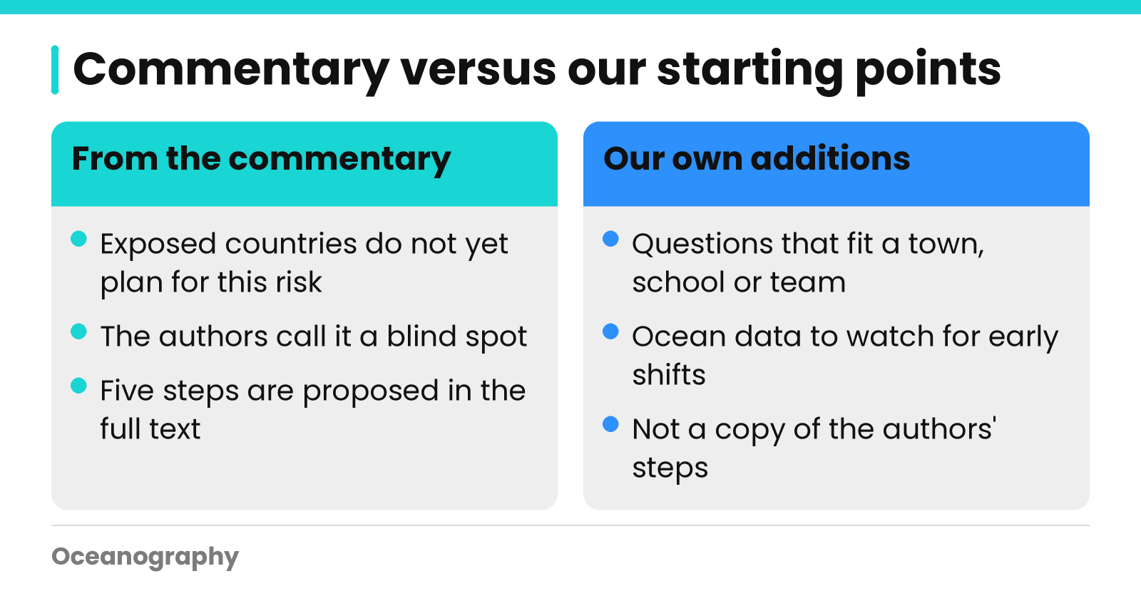
According to the commentary, planning in the most exposed countries does not yet account for the risks of a weaker Atlantic circulation. The authors call this a blind spot. Part of the reason may be that the risk spans oceans, borders and many sectors at once, so no single agency owns it.
The five steps the authors propose
Jongman and Hall propose five steps to close this blind spot. The public preview does not list them, and we do not want to invent them. If your school or institute has access, the full commentary is the place to read the steps in the authors' own words.
The reference list gives a hint of the evidence behind the piece. It cites recent studies in journals such as Nature, Science Advances, Earth's Future and Ocean Science, plus the IPCC Sixth Assessment physical science report.
Questions any planner or student can ask
These questions are our own starting point, not the authors' five steps. They help turn a large ocean topic into something a town, school project or research team can work with.
- Which of our crops, water supplies or industries depend on steady temperature and rainfall patterns?
- Which parts of our coast would be most exposed if local sea level rose faster than expected?
- Do our fisheries and marine reserves assume ocean conditions will stay the same?
- Do our climate plans count on the ocean continuing to absorb carbon?
- What ocean measurements would tell us early that conditions are shifting?
Notice that the last question is about data. Good adaptation depends on watching the ocean, not only modeling it.
How can Oceanography help you follow this research?
Oceanography.com, based at 15 Main Street, Unit 12A in Franklin, MA, brings together ocean data, research and learning tools in one place. You can search live measurements, find published papers and use classroom resources to explore how the Atlantic behaves and why scientists watch it closely.
Explore the data
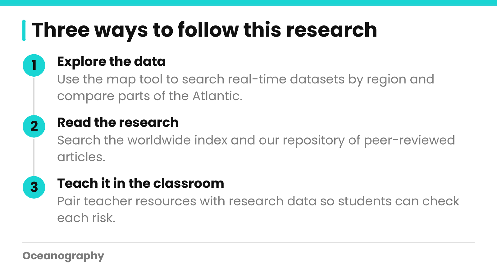
Our live ocean measurements are collated from some of the largest oceanographic institutions in the world. The map tool lets you search real-time datasets by region and see results as tables or graphs, with downloads available. You could pick regions of the Atlantic and compare how conditions differ from place to place.
One caution matters here. A few datasets cannot prove that circulation is changing on their own. They show what the ocean is doing in a place and time, which is the raw material researchers build on. Search Datasets to start exploring.
Read the research
Our worldwide index lists oceanographic research documents across all aspects of ocean science and its applications. We also host our own repository of peer-reviewed articles, posted online right after publication and free for members to search. Start with the articles index and repository to see what researchers are publishing.
Teach it in the classroom
Educators can pair data with learning materials. Our teacher resources support lessons on ocean topics, and students can use the same research data that scientists use. A simple exercise is to ask students to link each risk in the table above to a dataset they would want to check.
Questions about getting started? Call us at +1 (877) 805-3282, or go straight to the data and search datasets now.
Frequently Asked Questions
What is AMOC?
AMOC stands for Atlantic Meridional Overturning Circulation. It is a large system of Atlantic currents in which water moves north and south and also sinks and rises. It carries water and heat around the Atlantic and is part of the wider global ocean conveyor.
What could happen if Atlantic circulation weakens?
A 2026 Nature Sustainability commentary says it could shift temperatures and rainfall across continents, raise regional sea levels, disrupt food production and marine ecosystems, and erode the ocean carbon sink. The exact size and timing of these effects are subjects of ongoing research.
Who wrote the Nature Sustainability commentary on adapting to Atlantic circulation change?
The authors are Brenden Jongman and Jim W. Hall. Jongman is affiliated with the World Bank in Washington DC and the Environmental Change Institute at the University of Oxford. Hall is also at the Oxford institute. The comment was published on 27 October 2026.
Are countries already planning for Atlantic circulation change?
According to the commentary, planning in the most exposed countries does not yet account for these risks. The authors describe this as a blind spot and propose five steps to close it. The full list of steps is in the article, which requires a subscription to read.
Why does the ocean carbon sink matter here?
The ocean carbon sink is the ocean's ability to absorb carbon dioxide from the air. The commentary lists its erosion as one risk of a weaker Atlantic circulation. If the sink weakens, the ocean would help less in limiting the carbon dioxide that stays in the atmosphere.
Where can I find ocean data and research on this topic?
Oceanography.com offers real-time and historical ocean datasets searchable by region, a worldwide index of oceanographic research documents, and a repository of peer-reviewed articles. Members can search the repository for free. Teacher resources and learning materials are also available for classroom use.
