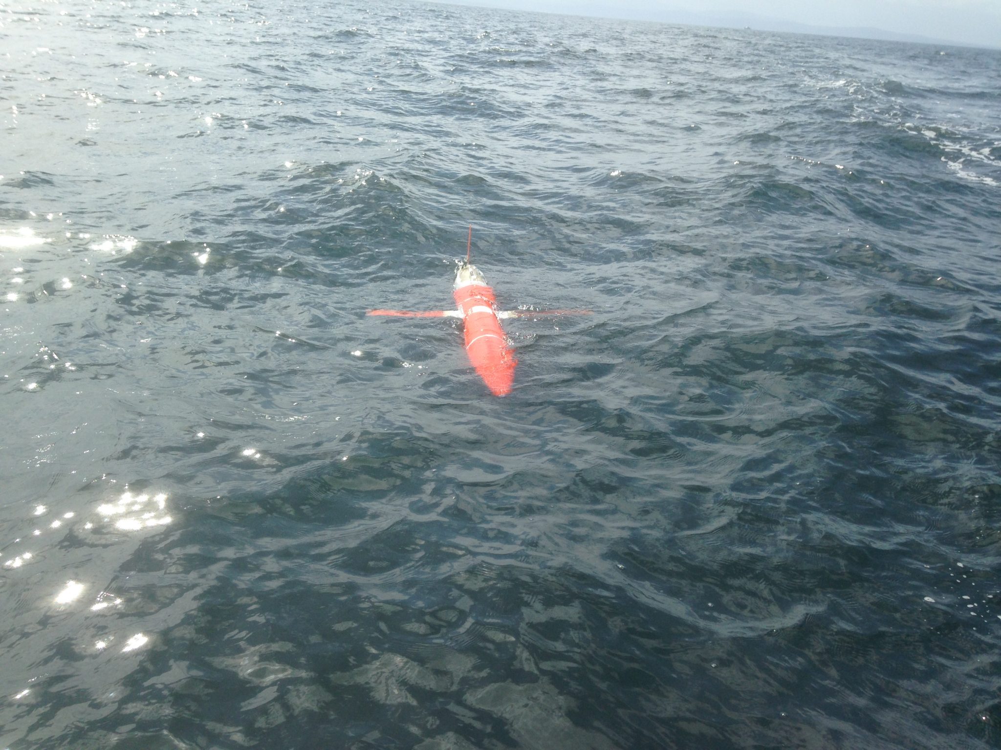
Spray 29 (Naval Postgraduate School/testbed glider)
Central and Northern California Ocean Observing System (CeNCOOS)
Published: 9 April 2020
SPRAY glider 29 collected ocean data off Monterey Bay starting May 6, 2019. Contour plots show depth profiles of temperature, salinity, fluorescence, oxygen, and pH, aiding in monitoring ocean conditions over time.
Keywords: SPRAY glider, ocean data, Monterey Bay, temperature, salinity, fluorescence, pH, oxygen
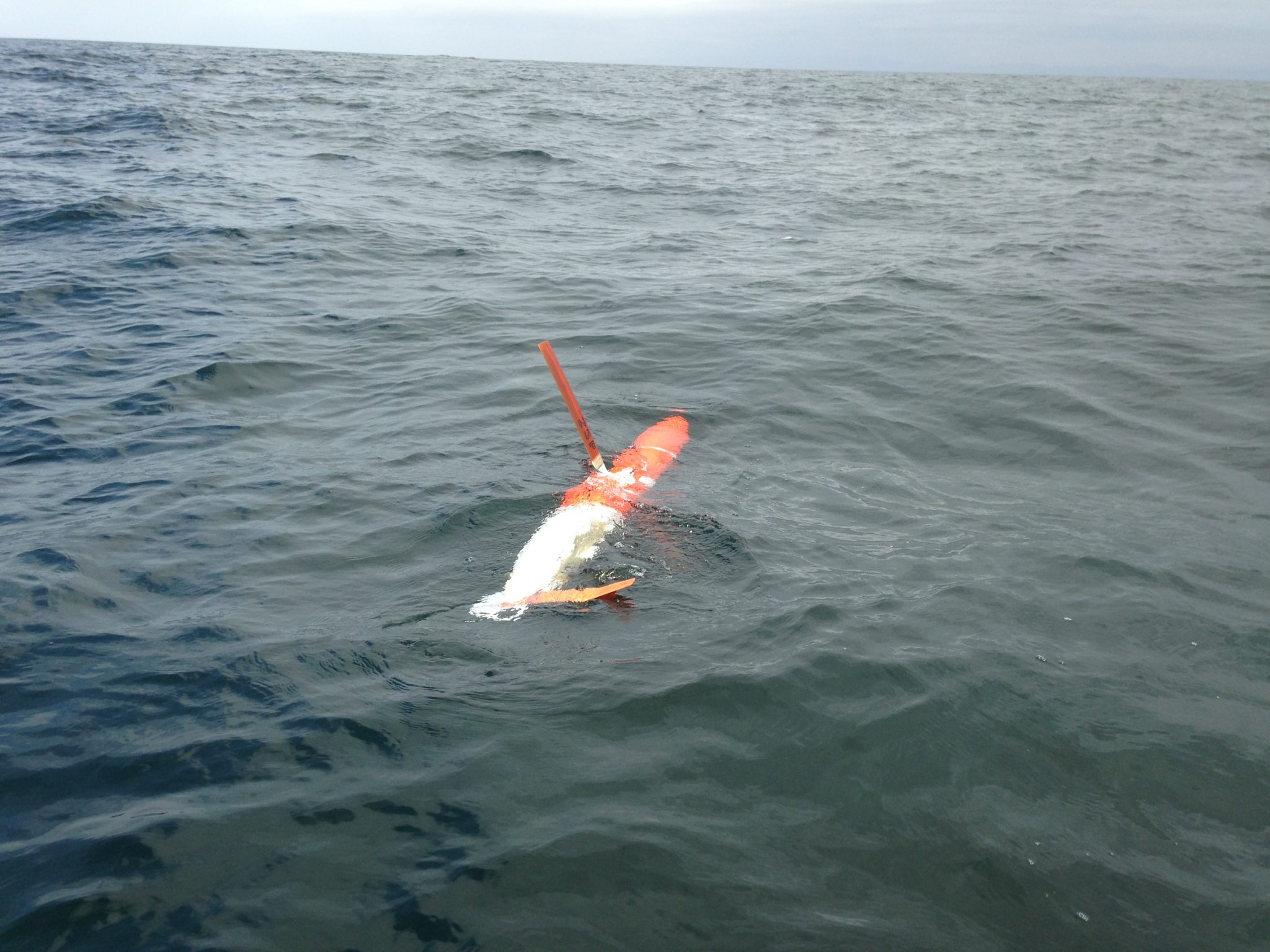
Pt Arena Glider Line 56.7
Central and Northern California Ocean Observing System (CeNCOOS)
Published: 9 April 2020
A glider transects CalCOFI Line 56.7 from Pt. Arena offshore, collecting data since 2019. It measures ocean properties like temperature, salinity, oxygen, and currents, updating plots every 4 hours to track changing marine conditions.
Keywords: CalCOFI, glider, ocean monitoring, salinity, temperature, oxygen, Line 56.7
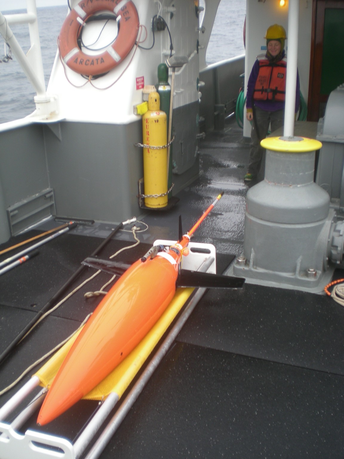
Trinidad Glider
Central and Northern California Ocean Observing System (CeNCOOS)
Published: 9 April 2020
Since 2014, a glider has surveyed from 10 km offshore of Trinidad Head to 300 km out, repeating the route every 15–20 days. It collects key ocean data—temperature, salinity, oxygen, and more—with plots updated every 4 hours.
Keywords: Trinidad Head, glider, ocean data, temperature anomaly, hypoxia, salinity, fluorescence