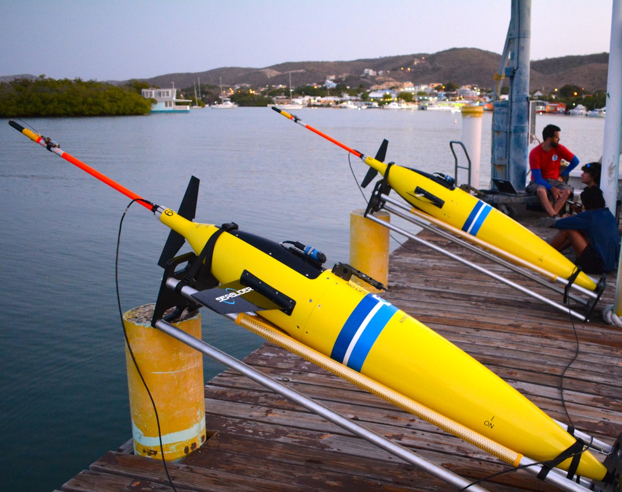
AOML-CARICOOS & NAVY HURRICANE GLIDERS ARE PART OF A MAJOR EFFORT TO USE Unmanned systems TO help fill scientific data gaps during COVID-19
Caribbean Ocean Observing System (CARICOOS)
Published: 19 June 2020
In response to COVID-19 disruptions, NOAA deployed autonomous ocean drones in 2020 to gather fishery, seafloor, and weather data in the Pacific, Arctic, and Atlantic. The effort supports hurricane forecasting, fish stock assessment, and ocean mapping.
Keywords: NOAA, unmanned systems, ocean drones, fishery survey, weather forecasting, Bering Sea, hurricane modeling
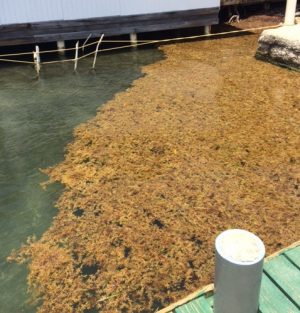
Experimental Weekly Sargassum Inundation Report (SIR v1.2) By the National Oceanic and Atmospheric Administration (NOAA), and the University of South Florida (USF)
Caribbean Ocean Observing System (CARICOOS)
Published: 19 June 2020
Since 2011, Sargassum blooms have posed growing threats in the Caribbean and Gulf of Mexico. The Sargassum Inundation Reports (SIR) use satellite data to predict coastal inundation risk levels, helping guide environmental and public health responses.
Keywords: Sargassum, inundation risk, AFAI, NOAA, USF, Gulf of Mexico, Caribbean Sea
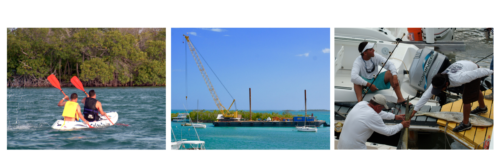
CARICOOS needs assessment: an opportunity to expand ocean-based observations, forecasts and services in the US Caribbean region.
Caribbean Ocean Observing System (CARICOOS)
Published: 28 July 2020
CARICOOS conducted a needs assessment survey among 206 coastal users in PR and the USVI to inform its 5-year Strategic Plan. Users prioritized tools for beach safety, sargassum alerts, and extreme weather. Next, CARICOOS will assess sargassum impacts.
Keywords: CARICOOS, needs assessment, coastal users, sargassum, beach safety, strategic plan, Puerto Rico, USVI