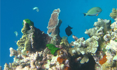
Local ocean temperatures play role in protecting corals
Commonwealth Scientific and Industrial Research Organisation (CSIRO) Oceans and Atmosphere
Published: 3 October 2017
Study shows coral bleaching is inevitable, with frequency increasing due to warming oceans and El Niño. Southern reefs may be last affected, but small warming shifts can end safe havens.
Keywords: coral bleaching, climate change, El Niño, safe havens, Great Barrier Reef, biodiversity, PACCSAP
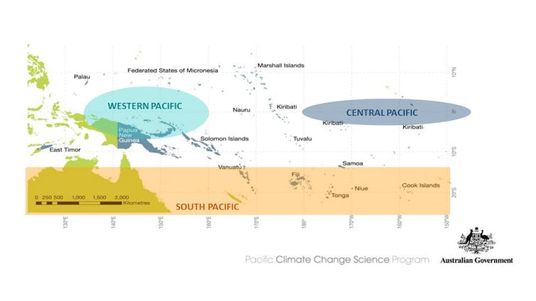
How to work out which coral reefs will bleach, and which might be spared
Commonwealth Scientific and Industrial Research Organisation (CSIRO) Oceans and Atmosphere
Published: 6 October 2017
Seasonal and El Niño-driven sea temperature changes influence coral bleaching risk. Some reefs, especially south of 15°S, may resist longer, offering time for conservation before annual bleaching becomes inevitable.
Keywords: coral bleaching, El Niño, climate change, sea temperature, Great Barrier Reef, reef management
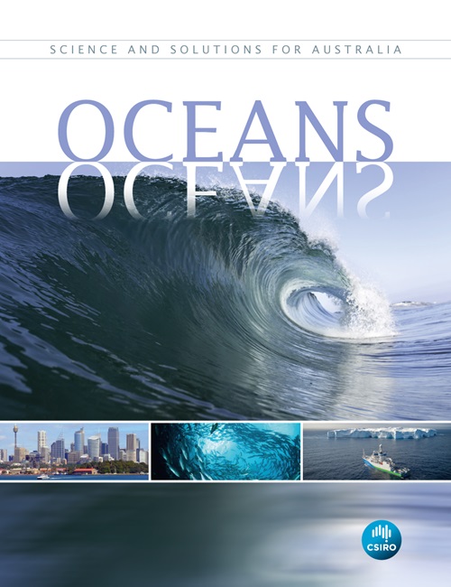
Oceans book launches at critical time
Commonwealth Scientific and Industrial Research Organisation (CSIRO) Oceans and Atmosphere
Published: 30 November 2017
Australia’s vast marine estate faces climate and biodiversity challenges. CSIRO stresses research, sustainability, Indigenous knowledge, and global collaboration to protect oceans crucial for climate, economy, and security.
Keywords: Australia, marine estate, CSIRO, climate change, ocean research, sustainability, collaboration