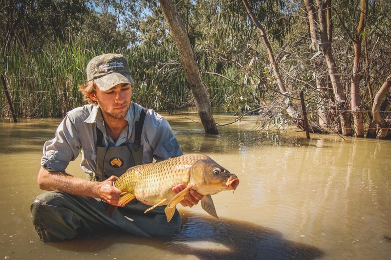
Managing our water-spoiling pests
Commonwealth Scientific and Industrial Research Organisation (CSIRO) Oceans and Atmosphere
Published: 13 April 2018
Scientists developed tools to manage invasive willows and carp in the Murray-Darling Basin. New mapping shows willow water use, while carp control may use a herpes virus strategy, aiming to restore ecosystems and water quality.
Keywords: Murray-Darling Basin, willows, carp, invasive species, water quality, ecosystem management, CSIRO
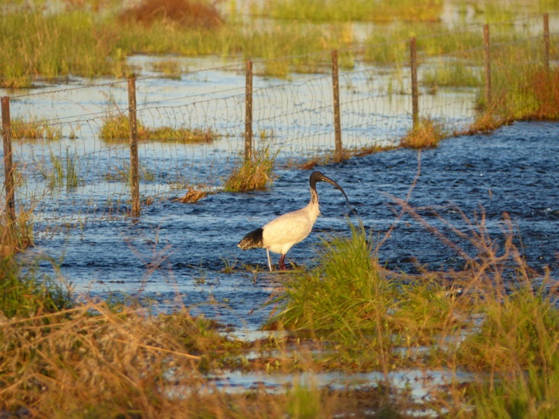
The story of Australian waterbirds - the length and breadth of the Murray-Darling Basin
Commonwealth Scientific and Industrial Research Organisation (CSIRO) Oceans and Atmosphere
Published: 26 April 2018
CSIRO is satellite-tracking ibis and spoonbills across the Murray-Darling Basin, revealing migration routes, habitat needs, and the vital role of water. Insights guide better environmental water management to support bird survival.
Keywords: Murray-Darling Basin, ibis, spoonbills, satellite tracking, waterbirds, CSIRO, environmental management
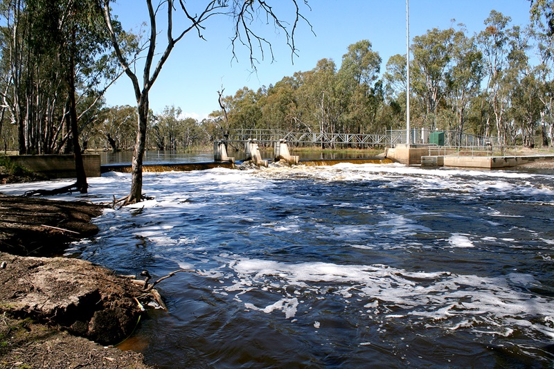
The upside of blackwater river flows
Commonwealth Scientific and Industrial Research Organisation (CSIRO) Oceans and Atmosphere
Published: 27 April 2018
CSIRO research shows blackwater from floodplains isn’t always harmful. In cooler seasons and right doses, it fuels river food webs. New models aim to manage floods, reduce hypoxic risks, protect fish, and sustain ecosystems in the Murray–Darling Basin.
Keywords: Murray-Darling Basin, blackwater, floodplains, carbon cycle, fish survival, CSIRO, water quality