9Apr
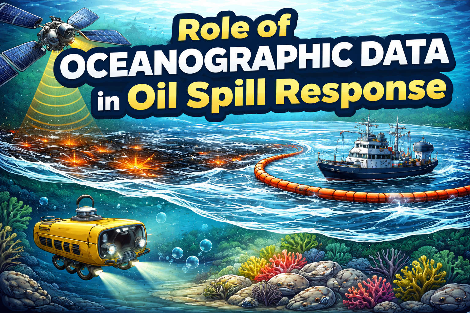
Role of Oceanographic Data in Oil Spill Response
Table of Content
Introduction to Oceanographic Data in Oil Spill Response
Role of Oceanographic Tools in Oil Spill Detection
How Ocean Data Helps Monitor Oil Spills
Oceanographic Data Systems for Effective Oil Spill Response
Real-Time Ocean Data in Oil Spill Monitoring
Impact of Oceanographic Data on Marine Pollution Control
Case Studies in Oil Spill Detection Using Ocean Data
Technological Innovations in Oceanographic Data for Spill Response
Marine Ecosystem Recovery After Oil Spills
Environmental Protection and Oil Spill Management
Solutions for Improving Oil Spill Response
Conclusion
FAQs About Oceanographic Data in Oil Spill Detection.
Introduction to Oceanographic Data in Oil Spill Response
Oil spills are devastating environmental disasters that require timely and effective responses. One of the key tools in managing such incidents is oceanographic data. Oceanography, the study of the ocean's physical and biological properties, provides invaluable information that aids in detecting and managing oil spills. From understanding ocean currents to assessing the spread of pollutants, oceanographic data is crucial for efficient spill response, minimizing environmental damage, and aiding recovery efforts.
By using real-time data, responders can predict the movement of oil, determine the most affected areas, and deploy resources effectively. This article explores how oceanographic data is revolutionizing oil spill detection and response strategies.
Key Takeaways
- Oceanographic data plays a crucial role in detecting and managing oil spills.
- Oceanographic tools help in monitoring pollution, tracking spills, and guiding response efforts.
- Real-time ocean data supports oil spill monitoring and accelerates recovery of marine ecosystems.
- Innovations in oceanographic data systems continue to improve environmental protection and spill management.
Role of Oceanographic Tools in Oil Spill Detection
What Are Oceanographic Tools?
Oceanographic tools include a wide range of instruments and technologies used to gather data about the ocean environment. These tools include satellites, sensors, and ocean buoys that collect data on water temperature, salinity, currents, and pollutants, including oil. By combining this data with advanced models, oceanographers can track the movements of oil in real time and predict its spread over time.
Using Oceanographic Tools for Spill Detection
Oceanographic tools play a critical role in early oil spill detection. Satellites equipped with sensors can spot oil slicks on the ocean surface, providing real-time data for immediate action. Underwater sensors can also detect oil below the surface, helping responders tackle hidden pollution. These tools not only help detect oil spills but also provide ongoing monitoring during the cleanup process.
How Ocean Data Helps Monitor Oil Spills
Tracking the Spread of Oil
One of the biggest challenges during an oil spill is understanding how far and fast the oil will spread. Oceanographic data, including real-time ocean current data, helps responders estimate the movement of the oil slick. This allows them to deploy containment booms, skimmers, and other equipment in the right locations to prevent further contamination of marine life.
Assessing the Impact of Spills on Marine Life
Ocean data also helps assess the impact of oil spills on marine ecosystems. By analyzing data on water quality, temperature, and pollution levels, scientists can determine how oil affects the local marine environment. This data helps in planning the recovery process and identifying vulnerable species that may need protection or rehabilitation.
Oceanographic Data Systems for Effective Oil Spill Response
Integrating Real-Time Data into Spill Response Plans
Oceanographic data systems integrate information from multiple sources, such as satellite imagery, ocean buoys, and real-time water samples. This integration ensures that spill response teams have access to the most up-to-date and accurate data. These systems also provide decision support tools that help teams assess the effectiveness of response measures and adapt strategies as conditions change.
Collaboration with Environmental Agencies
The use of oceanographic data systems enhances collaboration between government agencies, environmental organizations, and response teams. These systems allow for efficient communication and data sharing, improving the overall response and minimizing the environmental impact of oil spills.
Real-Time Ocean Data in Oil Spill Monitoring
The Importance of Real-Time Data
Real-time ocean data is essential for responding quickly and effectively to oil spills. By tracking the oil’s movement and concentration in the water, responders can implement targeted measures to contain or remove the oil before it spreads too far. Real-time data also helps in assessing the effectiveness of these measures and adjusting strategies accordingly.
Monitoring Oil with Satellite Oceanography
Satellite oceanography provides a global perspective on oil spills, helping to monitor large-scale incidents. Satellites equipped with radar and infrared sensors can detect the oil's presence on the ocean surface, providing data to guide response efforts. This technology is particularly useful in remote areas where other monitoring methods might be limited.
Impact of Oceanographic Data on Marine Pollution Control
Controlling Marine Pollution
Oceanographic data contributes significantly to controlling marine pollution. By continuously monitoring water quality and pollutant levels, scientists can identify pollution hotspots and assess the long-term effects of oil spills. This data helps in implementing pollution control measures such as water treatment, marine habitat restoration, and the prevention of future spills.
Marine Ecosystem Recovery
Post-spill recovery efforts rely heavily on oceanographic data to assess the health of marine ecosystems. By monitoring the regrowth of coral reefs, recovery of fish populations, and the restoration of water quality, scientists can track how well marine environments are healing. This data is crucial for setting recovery goals and determining the success of cleanup efforts.
Case Studies in Oil Spill Detection Using Ocean Data
The BP Deepwater Horizon Oil Spill
The BP Deepwater Horizon oil spill in 2010 highlighted the importance of oceanographic data in oil spill response. Satellite data, combined with oceanographic models, played a vital role in tracking the spread of the oil and guiding response efforts. The spill caused significant damage to marine life, and the data collected during the event contributed to improving future oil spill response strategies.
The Exxon Valdez Spill
Another notable case is the Exxon Valdez oil spill in 1989, which devastated Alaska’s coastline. Oceanographic data helped assess the spread of the oil, track its movement, and understand its impact on marine ecosystems. This case prompted advancements in oil spill detection technology, leading to the development of more sophisticated oceanographic tools for future responses.
Technological Innovations in Oceanographic Data for Spill Response
Advanced Sensors and Monitoring Systems
New technologies are continuously improving the effectiveness of oceanographic data in oil spill response. For example, advanced underwater sensors can detect oil concentrations at various depths, providing a more comprehensive view of the spill’s impact. These innovations make it possible to respond to oil spills more efficiently and with greater accuracy.
AI and Machine Learning in Spill Detection
Artificial intelligence (AI) and machine learning are being used to analyze oceanographic data and predict oil spill behavior. By processing vast amounts of data from satellites, ocean buoys, and other sensors, AI models can predict the spread of oil and recommend optimal response strategies. This technology enhances decision-making and helps reduce the environmental impact of oil spills.
Marine Ecosystem Recovery After Oil Spills
Restoring Coral Reefs and Marine Habitats
Oceanographic data is essential in understanding how oil spills affect coral reefs and other marine habitats. By monitoring the health of these ecosystems, scientists can develop strategies to accelerate recovery. This includes transplanting corals, restoring damaged habitats, and protecting vulnerable species from further harm.
Monitoring Fish Populations and Marine Species
Fish populations are often heavily impacted by oil spills, which can cause long-term health effects. Oceanographic data helps track the recovery of fish stocks and marine species, providing valuable insights for conservation efforts. By monitoring the biodiversity of affected areas, scientists can assess the success of recovery initiatives and adjust strategies as needed.
Environmental Protection and Oil Spill Management
Preventing Future Oil Spills
One of the primary goals of using oceanographic data in oil spill response is to prevent future spills. By analyzing past incidents and understanding their causes, oil companies and governments can implement stricter regulations and improve spill response infrastructure. Oceanographic data also helps develop more effective spill prevention strategies, such as better containment systems and safer drilling practices.
Building Resilient Ecosystems
Oceanographic data is also crucial in building resilient marine ecosystems that can withstand future pollution. By understanding how oil spills impact different species and ecosystems, scientists can identify ways to protect marine life and prevent long-term damage. This includes creating marine protected areas and enhancing biodiversity conservation efforts.
Solutions for Improving Oil Spill Response
Reducing Carbon Emissions to Mitigate Ocean Pollution
A proactive approach to mitigating oil spills includes reducing carbon emissions. By addressing the root causes of pollution, such as greenhouse gas emissions from fossil fuels, we can reduce the frequency of oil spills and their environmental impact. Oceanographic data supports these efforts by identifying pollution sources and guiding policy decisions.
Enhancing Global Collaboration on Oil Spill Management
Oil spills are a global issue that requires international cooperation. By sharing oceanographic data and research across borders, countries can strengthen their oil spill response capabilities. This collaboration ensures a more coordinated and effective approach to managing oil spills and minimizing their environmental consequences.
Conclusion
Oceanographic data plays a pivotal role in detecting and responding to oil spills, protecting marine life, and preserving ecosystems. As technology advances, the ability to monitor and respond to oil spills in real time will continue to improve, providing a crucial tool for environmental protection and marine ecosystem recovery. By using this data effectively, we can mitigate the impact of oil spills and work towards a cleaner, healthier ocean for future generations.
FAQs About Oceanographic Data in Oil Spill Detection
What is oceanographic data used for in oil spill response?
Oceanographic data helps detect, monitor, and manage oil spills by tracking the spread of oil, assessing environmental impact, and guiding response strategies.
How does real-time data help in oil spill management?
Real-time ocean data allows responders to track oil spills as they occur, enabling them to implement quick and targeted measures to mitigate damage.
What are the main tools used in oil spill detection?
Tools like satellites, ocean buoys, underwater sensors, and oceanographic models are used to detect and monitor oil spills.
Can oceanographic data help prevent future oil spills?
Yes, by analyzing past oil spills and understanding their causes, oceanographic data helps in preventing future incidents and improving response strategies.
How does oceanographic data impact marine life recovery after an oil spill?
Oceanographic data is used to monitor the recovery of marine species, assess habitat restoration, and track the health of ecosystems after a spill.
What technologies are used to enhance oil spill detection?
Advanced sensors, AI models, and satellite imagery are some of the technologies used to improve oil spill detection and monitoring.
Why is oceanographic data important for oil spill response?
It provides accurate, real-time information about the spread and impact of oil spills, helping responders to make informed decisions and minimize damage.
How does oil spill data help protect coastal communities?
By monitoring oil spills, responders can prevent further contamination of coastal areas, protecting both marine ecosystems and local economies.
Can oceanographic data improve oil spill cleanup efforts?
Yes, by guiding cleanup teams to the most affected areas and monitoring the effectiveness of response measures, oceanographic data ensures efficient oil spill cleanup.
What role does oceanographic data play in global oil spill management?
Oceanographic data helps facilitate international collaboration, ensuring a coordinated and effective response to oil spills across borders.
Learn more about the role of oceanographic data in oil spill response