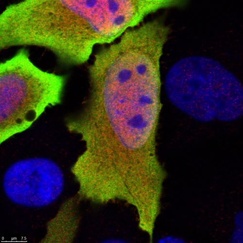
Gene discovery unlocks mysteries of our immunity
Commonwealth Scientific and Industrial Research Organisation (CSIRO) Oceans and Atmosphere
Published: 2 July 2018
CSIRO researchers discovered the ancient gene C6orf106 ("C6"), which regulates immune cytokines linked to infectious disease, cancer, diabetes, and arthritis, paving the way for targeted therapies and inviting the public to help name it.
Keywords: C6orf106, C6 gene, CSIRO, cytokines, immune regulation, infectious disease, cancer, diabetes, arthritis, gene discovery, human genome
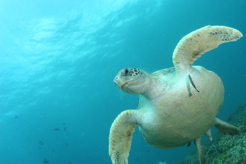
How much plastic does it take to kill a turtle?
Commonwealth Scientific and Industrial Research Organisation (CSIRO) Oceans and Atmosphere
Published: 14 September 2018
CSIRO research shows turtles face a 22% chance of death from ingesting a single plastic item, with risk rising to 50% at 14 items. Findings highlight the lethal impact of ocean plastic on global turtle populations.
Keywords: sea turtles, plastic pollution, CSIRO, marine life, mortality risk, ocean debris, conservation
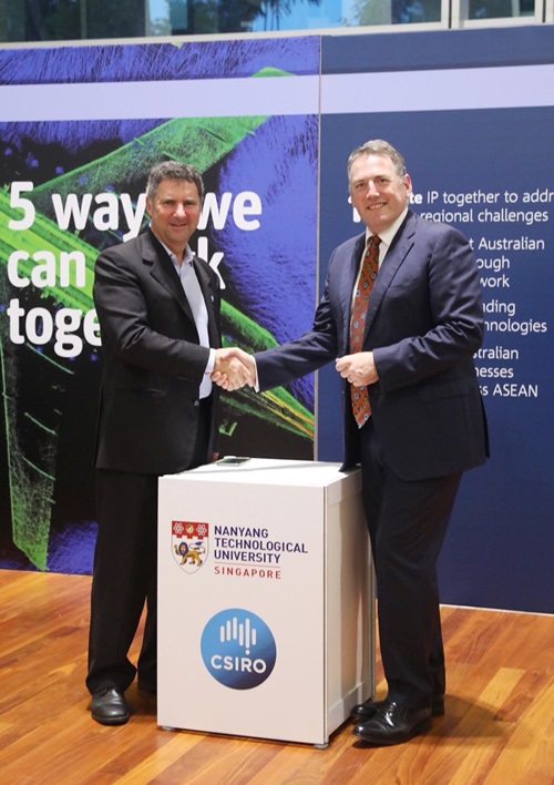
CSIRO launches ASEAN presence
Commonwealth Scientific and Industrial Research Organisation (CSIRO) Oceans and Atmosphere
Published: 18 September 2018
Temasek became the 3rd largest investor in the $232M CSIRO Innovation Fund, boosting ASEAN-Australia collaboration. CSIRO aims to drive science-led innovation in health, sustainability, and regional partnerships.
Keywords: CSIRO, Temasek, Innovation Fund, ASEAN, collaboration, science, startups