17Feb
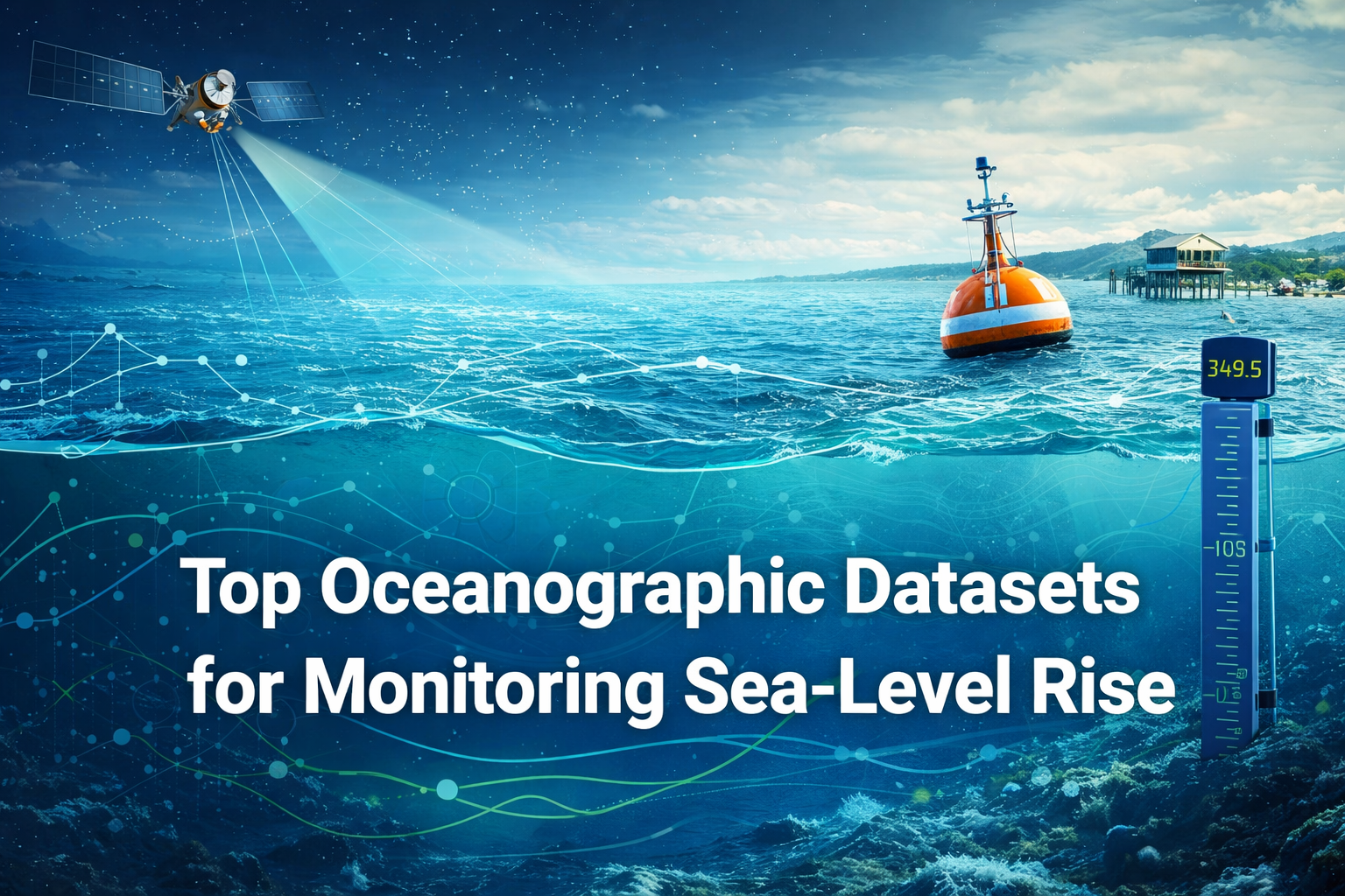
Top Oceanographic Datasets for Monitoring Sea-Level Rise
Table of Contents
- Introduction to Sea-Level Rise Monitoring
- What is Sea-Level Rise?
- Why Monitoring Sea-Level Rise is Crucial for Climate Change
- Key Oceanographic Datasets Used for Sea-Level Rise Monitoring
- Satellite Altimetry Data
- Tide Gauge Data
- Argo Floats and Ocean Buoys
- Gravity Data and GRACE Satellites
- How These Datasets Contribute to Sea-Level Rise Predictions
- Understanding Global Sea-Level Trends
- Predicting Future Sea-Level Changes
- Challenges in Sea-Level Rise Monitoring
- Data Accuracy and Resolution
- Regional vs. Global Variations
- Applications of Oceanographic Data for Climate Action
- Policy Making and Adaptation Strategies
- Coastal Management and Infrastructure Planning
- Future of Oceanographic Data in Sea-Level Monitoring
- Emerging Technologies and Innovations
- Expanding Data Coverage and Collaboration
- Conclusion: The Role of Oceanographic Datasets in Climate Change Solutions
Introduction to Sea-Level Rise Monitoring
What is Sea-Level Rise?
Sea-level rise refers to the gradual increase in the level of the Earth's oceans, primarily due to the melting of polar ice caps and glaciers and the thermal expansion of seawater as it warms. Over the last century, sea levels have risen by an average of about 8 to 9 inches (21 to 24 cm), and projections indicate that this trend will continue unless we take significant steps to mitigate climate change.
This rise in sea levels poses a major threat to coastal regions, with the potential to displace millions of people, cause damage to infrastructure, and disrupt ecosystems. Monitoring sea-level rise is vital for understanding how rapidly this phenomenon is occurring and how it will affect various regions worldwide.
Why Monitoring Sea-Level Rise is Crucial for Climate Change
The reason why monitoring sea-level rise is so crucial is tied directly to the broader effects of climate change. Rising sea levels contribute to coastal flooding, erosion, and saltwater intrusion into freshwater resources. These changes can have devastating consequences for both human populations and wildlife, particularly in low-lying areas like island nations or deltas.
Understanding sea-level rise through precise oceanographic data allows scientists to predict future trends, advise governments on climate adaptation strategies, and formulate policies that mitigate the impact of flooding and other environmental challenges. It also helps assess the effectiveness of climate change mitigation strategies, like carbon reduction targets, by tracking changes in the ocean's volume and surface area.
Key Oceanographic Datasets Used for Sea-Level Rise Monitoring
Monitoring sea-level rise requires a comprehensive set of oceanographic datasets that provide both real-time data and long-term trends. Below are some of the most critical data sources used by scientists to track sea-level rise.
Satellite Altimetry Data
One of the most powerful tools in sea-level monitoring is satellite altimetry, which uses radar waves to measure the distance from a satellite to the ocean's surface. Satellites such as NASA’s Jason-3 and Sentinel-6 have provided valuable altimetry data since the 1990s, allowing researchers to map global sea levels with remarkable precision. These satellites measure the height of the ocean's surface from space and track fluctuations in sea level across large areas.
This method provides consistent, global data that is crucial for assessing how sea-level rise varies across different regions of the world. It helps scientists monitor both long-term trends and short-term variations in sea-level changes, providing a clearer picture of how climate change is impacting the oceans.
Tide Gauge Data
While satellite altimetry provides global measurements, tide gauges offer a more localized view of sea-level changes. These devices, often placed along coastlines, measure the rise and fall of the tide at specific locations. Over time, tide gauges have provided essential data for assessing sea-level rise at particular sites, especially in densely populated or vulnerable areas like major coastal cities.
Tide gauges have been in use for centuries, providing a historical baseline for sea-level measurements. Their data is crucial for validating satellite observations and understanding regional differences in sea-level rise.
Argo Floats and Ocean Buoys
Argo floats and ocean buoys are autonomous instruments deployed in the oceans to measure temperature, salinity, and other oceanic properties. These data sources contribute indirectly to sea-level monitoring by helping scientists understand how temperature and salinity changes in the ocean affect water volume and contribute to sea-level rise.
Argo floats drift at various depths in the ocean and collect critical data on ocean currents, helping scientists predict how changes in ocean circulation patterns might contribute to changes in sea levels. Meanwhile, ocean buoys provide real-time data about sea surface temperature and salinity, which, in turn, affect ocean expansion and sea-level rise.
Gravity Data and GRACE Satellites
The GRACE (Gravity Recovery and Climate Experiment) satellites have revolutionized our understanding of how sea-level rise is linked to changes in Earth’s mass. GRACE measures variations in gravity across the planet, which allows scientists to track changes in ice mass from glaciers and ice sheets as they melt and contribute to rising sea levels.
GRACE satellites can measure changes in the mass of water stored in the oceans, providing valuable information about the dynamics of sea-level rise. This data is essential for understanding the relationship between ice melt, ocean expansion, and global sea levels.
How These Datasets Contribute to Sea-Level Rise Predictions
Understanding Global Sea-Level Trends
By combining satellite altimetry data, tide gauges, Argo floats, and GRACE measurements, scientists can create a comprehensive view of global sea-level trends. These datasets allow for tracking the rise in sea levels over time and across different regions. They also help determine how much of the rise is due to thermal expansion, which occurs as ocean water warms, and how much is due to the melting of glaciers and ice caps.
Understanding these trends is crucial for forecasting future sea-level rise and its potential impact on coastal populations. Through sophisticated models and simulations, these datasets help scientists predict how sea levels will change in the coming decades and centuries.
Predicting Future Sea-Level Changes
The data collected from these various oceanographic sources feeds into predictive models that help scientists estimate how sea levels will rise in the future. These predictions are based on current trends and various climate change scenarios, such as future carbon emissions and global warming projections.
These models are essential for policy-making, infrastructure planning, and disaster preparedness. They allow coastal cities and nations to plan for the impacts of sea-level rise, such as building resilient infrastructure, implementing flood control measures, and relocating vulnerable populations.
Challenges in Sea-Level Rise Monitoring
Data Accuracy and Resolution
One of the major challenges in sea-level rise monitoring is ensuring the accuracy and resolution of the data. Satellite altimetry, for example, provides global coverage but may have lower precision in certain areas, such as near coastlines or polar regions. Tide gauges, while highly accurate in specific locations, provide limited coverage and often lack real-time data.
Moreover, data resolution can vary depending on the instrument and measurement techniques. To overcome these challenges, scientists must use multiple data sources to validate findings and fill in gaps in coverage. This is crucial for making precise predictions about sea-level rise and its regional effects.
Regional vs. Global Variations
Another challenge is understanding the regional variations in sea-level rise. While global sea levels are rising on average, the rate of increase varies widely depending on the region. Some areas, such as the Pacific Islands, are experiencing faster sea-level rise due to a combination of local factors like land subsidence, ocean currents, and regional climate patterns.
Data collected from tide gauges and satellite altimetry helps scientists track these regional differences and incorporate them into predictions for localized impacts of sea-level rise.
Applications of Oceanographic Data for Climate Action
Policy Making and Adaptation Strategies
Accurate oceanographic data is vital for informing climate policies and adaptation strategies. Governments and policymakers rely on these datasets to craft laws and regulations aimed at mitigating the effects of sea-level rise. For example, sea-level rise data helps policymakers decide where to build new infrastructure, where to invest in flood protection, and how to manage coastal ecosystems.
Data-driven policies also enable international collaborations, as nations share data and work together to address the global challenge of rising sea levels.
Coastal Management and Infrastructure Planning
Coastal management and infrastructure planning are heavily influenced by oceanographic data. By understanding where and how much sea levels will rise, planners can design cities and infrastructure that are more resilient to flooding and erosion. This includes elevating buildings, designing flood barriers, and restoring natural coastal buffers like mangroves and wetlands.
Oceanographic data also guides the construction of seawalls and other protective measures, ensuring that they are built in the right locations and with the right specifications.
Future of Oceanographic Data in Sea-Level Monitoring
Emerging Technologies and Innovations
The future of sea-level rise monitoring lies in emerging technologies and innovations. Advances in satellite altimetry, AI-driven data analysis, and the use of autonomous underwater vehicles (AUVs) are expected to improve the accuracy, resolution, and real-time capabilities of ocean data collection.
New methods for tracking the movement of ice sheets and glaciers, as well as improved modeling techniques, will provide better predictions for how sea levels will change in the future. These advancements will allow scientists to make more precise forecasts and give policymakers the tools they need to take action.
Expanding Data Coverage and Collaboration
Another key aspect of the future of oceanographic data is expanding data coverage and collaboration. As more countries invest in oceanographic research and monitoring infrastructure, data sharing and collaboration between nations will become increasingly important. Global collaborations, such as those between NASA, NOAA, and the European Space Agency, will provide a comprehensive and unified approach to sea-level rise monitoring.
Conclusion: The Role of Oceanographic Datasets in Climate Change Solutions
Oceanographic datasets play an indispensable role in monitoring sea-level rise, helping scientists predict future changes and guiding policies for adaptation and mitigation. These datasets, including satellite altimetry, tide gauge data, and Argo floats, provide valuable insights into the processes driving sea-level rise and its impacts on coastal communities worldwide. As technology advances, the accuracy and reach of these datasets will continue to improve, offering even more precise tools for addressing the global challenges posed by climate change.
Explore Oceanographic Data for Sea-Level Rise Monitoring
FAQs
1. What are the main datasets used to monitor sea-level rise?
The main datasets include satellite altimetry, tide gauges, Argo floats, and GRACE satellites.
2. How does satellite altimetry help monitor sea-level rise?
Satellite altimetry measures the height of the ocean's surface and tracks changes in sea levels across the globe, providing high-precision, global data.
3. Why is tide gauge data important?
Tide gauges offer localized data on sea-level rise, helping scientists track changes in specific coastal areas and validate satellite measurements.
4. How do Argo floats contribute to sea-level rise monitoring?
Argo floats measure temperature, salinity, and ocean currents, helping scientists understand the physical properties of the oceans that contribute to sea-level rise.
5. What is the GRACE satellite's role in monitoring sea-level rise?
GRACE measures changes in Earth's gravity field, allowing scientists to track melting glaciers and ice sheets, which contribute to rising sea levels.
6. What challenges exist in monitoring sea-level rise?
Challenges include data accuracy, resolution, and regional variations in sea-level rise, which require multiple datasets to provide a comprehensive picture.
7. How can oceanographic data inform climate policy?
Oceanographic data helps policymakers make informed decisions on coastal management, infrastructure planning, and climate change adaptation strategies.
8. How accurate are the predictions made using oceanographic data?
Predictions are highly accurate, though they depend on the resolution and consistency of the data used. Multiple data sources help ensure accuracy.
9. What role do emerging technologies play in sea-level rise monitoring?
Emerging technologies, such as AI and improved satellite altimetry, enhance the accuracy, resolution, and real-time data collection of oceanographic datasets.
10. How does ocean data help in coastal infrastructure planning?
Ocean data helps engineers design resilient infrastructure by predicting where and how much sea levels will rise, enabling the construction of effective flood barriers and other protective measures.