Preparations continue for the Surface Water and Ocean Topography (SWOT) mission
Integrated Marine Observing System
Published: 9 August 2020
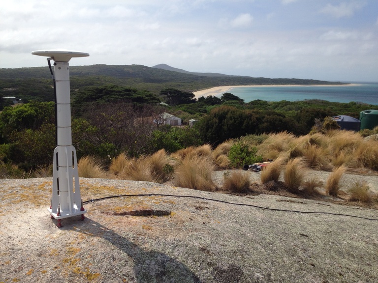
The IMOS Altimetry Validation sub-Facility joins the global SWOT Science Team, supporting the upcoming satellite mission with precise sea surface height data from Bass Strait using GNSS-equipped buoys and sensors.

Waverider Buoys deployed by the New Zealand Defence Force are providing critical information about conditions in the remote Southern Ocean
Integrated Marine Observing System
Published: 23 August 2020
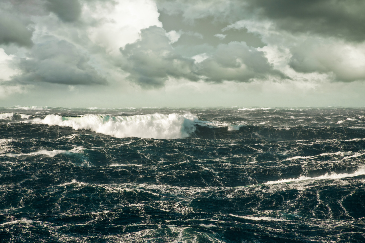
Wave climate data from the Southern Ocean near Campbell Island is now available via the AODN Portal, aiding NZDF efforts to improve marine safety, forecasting, and ship design in extreme sea conditions.

RV Investigator recovers and deploys IMOS deep water moorings in the Southern Ocean
Integrated Marine Observing System
Published: 29 September 2020
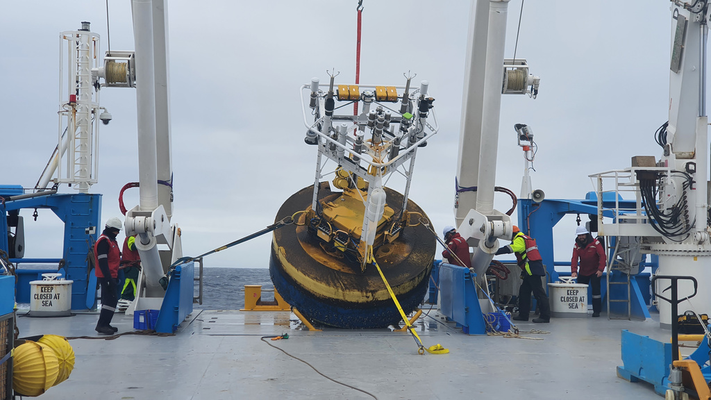
After COVID-19 delays, RV Investigator successfully recovered and redeployed moorings in the Southern Ocean, continuing vital long-term climate and carbon cycle monitoring via the IMOS SOTS Observatory.

